Spending a Long Weekend at 10,000 Feet
When some last minute cancellations foiled a trip up Granite Peak, we had to make a plan to spend some time in a new area. While I have spent plenty of time in the Beartooths, and plenty of time in the Boulder River Valley, this was the first time I’ve ventured up, and over, the mountains camping along the top.
For those who haven’t been; it’s a beautiful area with plenty of really long hikes to get you away from people.
The Rough Road to the Lake Plateau Trailhead
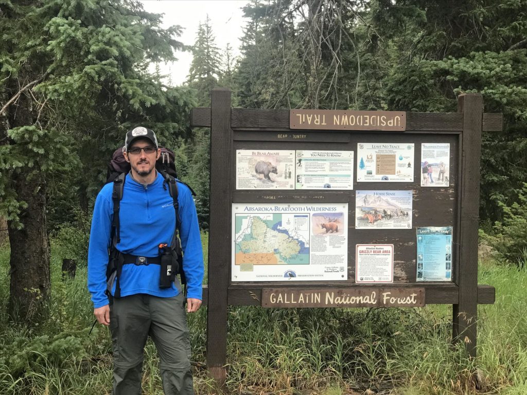
There are a few ways to get to Lake Plateau. The most common is to head up the Boulder River Valley, park at Hicks Park, and take Upside Down Creek Trail up into the mountains.
When planning out a trip, it’s always great to find out about the approach. On the All Trails app there were a couple reports about how rough the road was, and you would definitely need a high clearance 4WD vehicle to get there. I read this with a little skepticism… I’ve been up the Boulder Valley, I know the road. So I busted out there in my 1997 Honda Shitbox (aka Civic) thinking it wouldn’t be a big deal.
Well, the road isn’t a big deal if you’re going to Four Mile Cabin. But after that it gets progressively worse and worse. Now, my civic is an off-roading beast and can handle some seriously rough terrain. I wasn’t worried, but my buddy Justin was likely pooping his pants.
Bottom line, getting to the trailhead is doable in a little car, but a higher clearance rig would probably make it a bit easier.
At the trailhead there’s room for a dozen or so vehicles. Upside Down Creek Trail starts you off up the mountains.
The Upside of Upside Down Creek Trail
I’m not one to shy away from a strenuous hike. But when you look at the elevation gain on this one, it’s a pretty serious uphill hike for the first 7 or so miles.
The trail meanders along, and switchbacks its way up the mountain following the creek’s drainage. Don’t be deceived by the map though, you get nowhere near the creek for the bulk of the hike. Make sure you have enough water, because it’s not until around mile 4 where you can refill.
Our trip was in early August, when the raspberries were ripened. As you pass by the rock slide areas, these bushes were everywhere. Plenty of little treats to gorge yourself on as you work your way uphill.
No trip report would be complete without a little jab at my hiking buddy Justin. Justin is from Texas where it’s hot AF the majority of the year. So when he comes to Montana and it’s a mere 60 degrees out, he’s cold AF.
Most of us know that when you hop out of the vehicle, and it’s a wee bit chilly, that you have to tough it out because as soon as you’re hoofing it uphill you’re going to start sweating. So wear layers or better yet just be cold in your short sleeves for a few minutes.
Justin didn’t understand this concept because of the Texas heat. So he left his sweatshirt on while we started hiking. Which naturally led to him getting really, really hot a mile or two into the hike. Most people would shed a layer, but he left it on and was sweating out his eyeballs. Combine that with a pack that wasn’t adjusted properly (my fault on that one), and he was hurting just a few miles in. To the point where he was getting a bit dehydrated and muscles were cramping up.
Fortunately we had plenty of time to slow our pace and still make it to camp before it got too incredibly late.
After the first six or seven miles you pop out onto the first part of the plateau right at Horseshoe Lake. It’s a great spot to stop for lunch, relax a bit, and know that you’re just a few miles away from the beginning of the Lake Fork Plateau Loop.
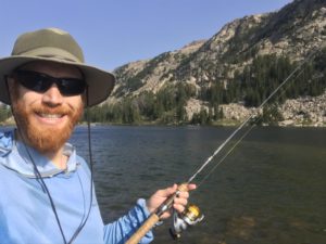
While Horseshoe wasn’t great fishing, the next lake up (which doesn’t have a name that I can find) is only a half mile away, and I pulled the biggest fish of the trip from those waters.
Hiking the Loop through the Plateau
From that unnamed lake to the first of the many Rainbow Lakes (there’s half a dozen or so all lined up nicely for your fishing pleasure) you progress 2 more miles. You hit the highest point of 9,700 feet just after the unnamed lake, and then drop back to 9,100 before going back up to 9,400. The first of the Rainbow Lakes is 9.5 miles from the trailhead, and makes for a great place to set up camp for the first night.
The Lake Plateau Loop runs about 6 miles, following the Rainbow Lakes and dropping down from the Boulder Drainage into the Stillwater Drainage. The whole loop (save for a small section when you’re about back to the beginning) undulates just a couple hundred feet in elevation. The lakes are spaced a quarter mile to a half mile apart, and provide some amazing fishing that can be done without breaking down your rod up between stops.
But if you really want an adventure, you have to step off the Lake Plateau and see what else there is to discover.
Dropping into the Stillwater Drainage
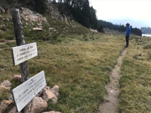
The far end of the loop, nearly halfway through it, there’s a junction. If you keep on the loop you’ll wrap back around to your camp. But if you head down into the Stillwater Drainage, there are many more lakes and areas to discover.
The decision to drop far into the Stillwater Drainage actually came from the fish that were supposed to reside in those remote lakes. Fishing reports say that Ravin Lake contains Golden Cutbows. I’ve never caught a Golden before, nor even a Cutbow, and the idea of a Golden Cutbow was intriguing.
So we headed downhill. We stopped briefly at Wounded Man Lake, and caught a fish or two, and then proceeded to Lake Pinchot. We wrapped around this relatively large mountain lake, and tried to figure out where the trail went on the far end. But it seems that it’s rather untraveled in this area, and our once prominent trail quickly disappeared into the trees.
Lake Pinchot sits around 9,300 feet, but the outlet quickly descends down to Dreary Lake at around 9,000 feet. There’s really nowhere to go but down, so we forged our way through the woods hoping to eventually catch another trail, or at least find Dreary Lake and the stream we could follow to Ravin.
It didn’t take long before we hit Dreary, and soon the trail picked back up. It was a fairly quick hike over to Ravin where the fish were Ravinous… or ravenous. Whatever, I never learned to read or write.
I quickly hooked into an immensely colorful trout. Then another, and several more. Each one looked like a cutthroat and a rainbow, but I couldn’t quite figure out if it also had that Golden characteristic (a fishing group on Facebook informed me later that indeed it was a Cutbow and not a Golden Cutbow).
Regardless of the species, the fishing was great, the area was amazing, and the hike wasn’t too bad once we figured out how to bushwhack down the hill.
Of course, there was the trek back as well.
Heading uphill wasn’t too bad. We had already fished the lakes, so no need to stop and fish them again. Back up past Dreary, through the woods to Lake Pinchot, skirt the edge to Wounded Man and a sharp turn up the creek to get back onto the Lake Plateau loop.
Soon we finished up the loop, and after the other 30,000+ steps we took that day, the uphill switchbacks got to be rather tedious. We made it safely to camp, and cooked up dinner.
After dinner Justin got cold because he’s from Texas. I threw on a sweatshirt and went and caught a bunch of fish out of one of the Rainbow Lakes.
Booking it Back to the Car
One of the nice things about having a long uphill slog to get to the campsite is the long descent to get back to the trailhead.
There’s no need for multiple breaks, you take bigger steps, and overall you can run at an incredible rate, Harry. Please tell me you got the Dumb and Dumber reference. Pausing on occasion to fish the lakes, have some lunch, refill water, and of course pick handfuls of raspberries, we made good time getting back to the vehicle.
At one stopping point we did meet up with another hiker that we saw on the way in. He informed us he spotted a grizzly bear in the area (3 or so miles from where we camped). But she seemed intent on doing her own thing and didn’t care much about the people in the area. I’m glad we learned of that on the way out instead of the way in; ignorance is bliss (we were prepared and bear aware, I’m not a complete moron).
Lake Plateau is a beautiful and still relatively remote area in the Beartooths. There are dozens of trails that go through the mountains, each one can be linked together to form a giant loop or cross mountain voyage.
In the future, hiking from the Stillwater Drainage starting at the Sioux Charley trailhead, and heading up and over the mountains to Lake Plateau might make for a nice long weekend to (hopefully) land one of the elusive Golden Trout.


